
In yesterday's blog post [Tubtubon Barangay Hall ] I included a screen shot of the route I take on my walk from my house to the Brgy. hall, according to Google Maps. On the screenshot, my route is shown with blue dots. There's an alternate (longer) route shown in gray, of which I was previously unaware.
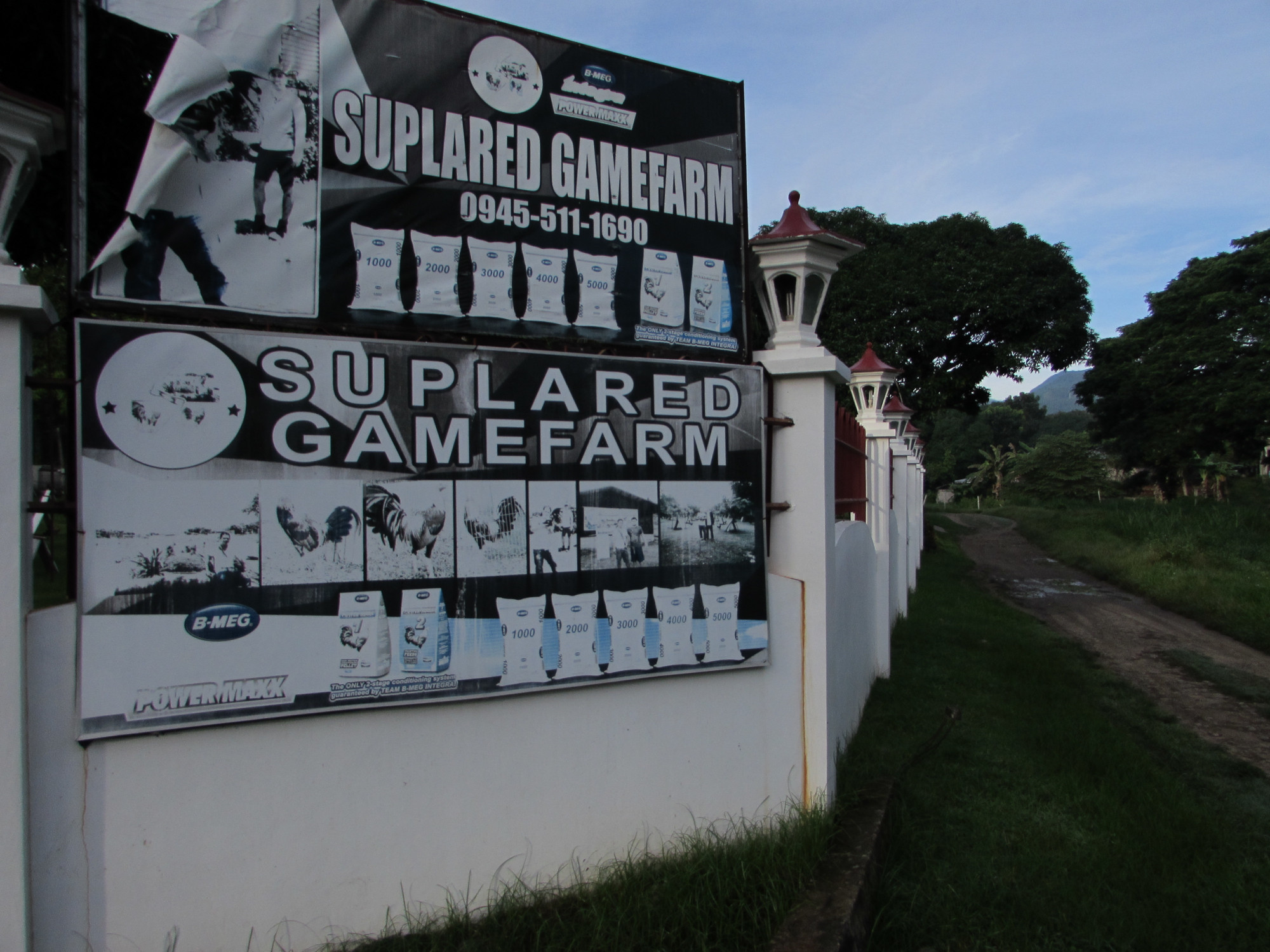
While walking this morning, I took notice of the road - paved, but not as wide as the main road. At the intersection, there is a sign directing you to Suplared Gamefarm. Although I wasn't up to walking the entire road to where it intersects the Magatas/Camanjac road, I wanted to take a detour along the road, out of curiosity.
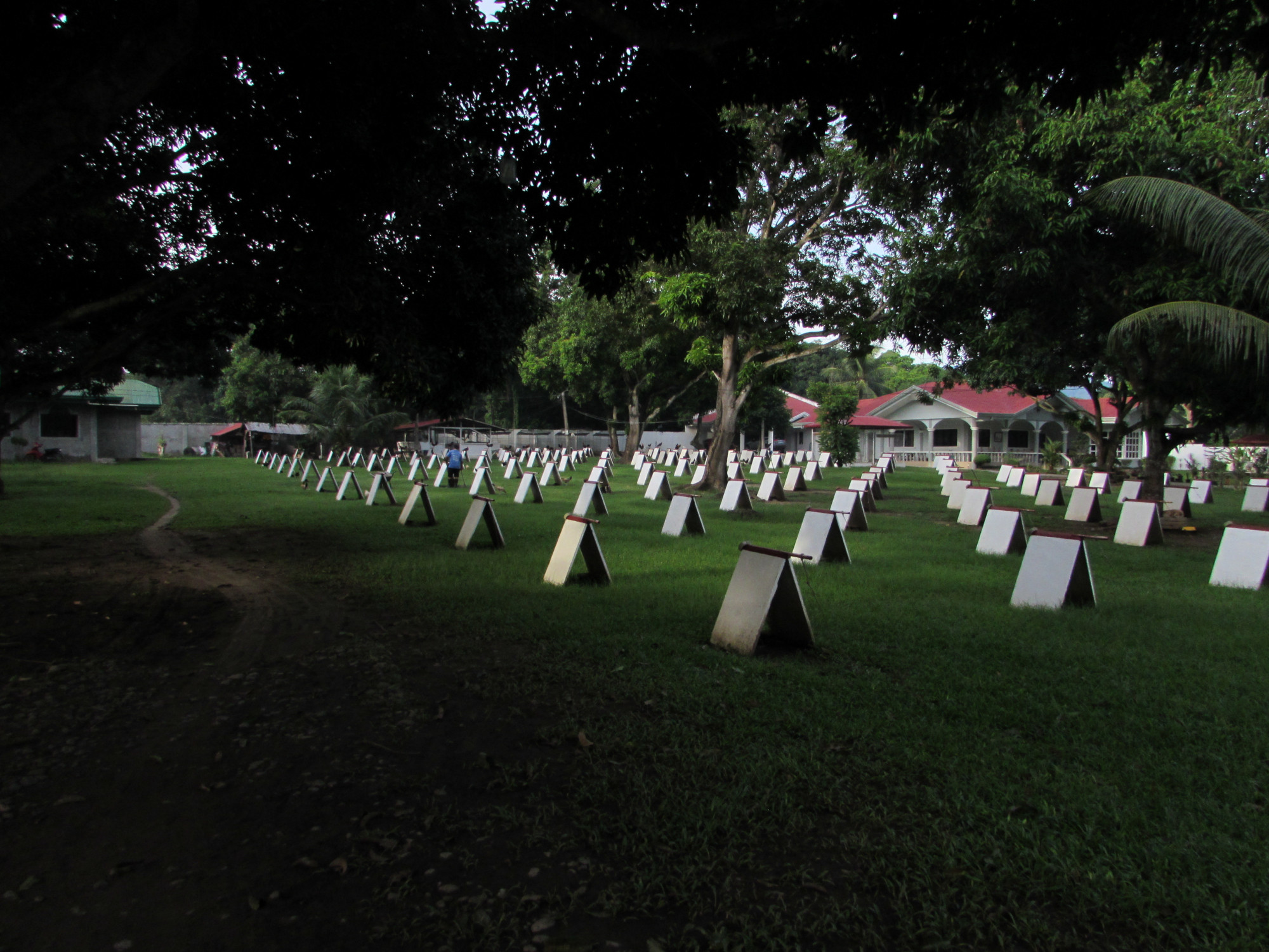
I walked until I came upon the game farm. I had no way of measuring the distance, but it seemed to me that the distance from the game farm to the road where I started, is about the same as from that intersection to the Tubtubon Barangay hall. My walk this morning should be approximately the same.....about 2 miles.
Naturally, I took photos. I knew the photos would be posted here, but I thought there might be the off chance I could upload the photos onto Google Maps.
Unfortunately, the Suplared Gamefarm hasn't, as yet been added to Google Maps. I thought of adding the farm myself, but I'm not 100% certain of it's exact location on the map. I'll leave that for another day.


No comments:
Post a Comment